Our Services
-
Insurance providers are increasingly using aerial imagery to assess properties—often without notice. LoretoGeo helps you stay one step ahead by giving you the same level of visibility into your roof and structure, so you can identify issues early and address them before they become a problem.
-
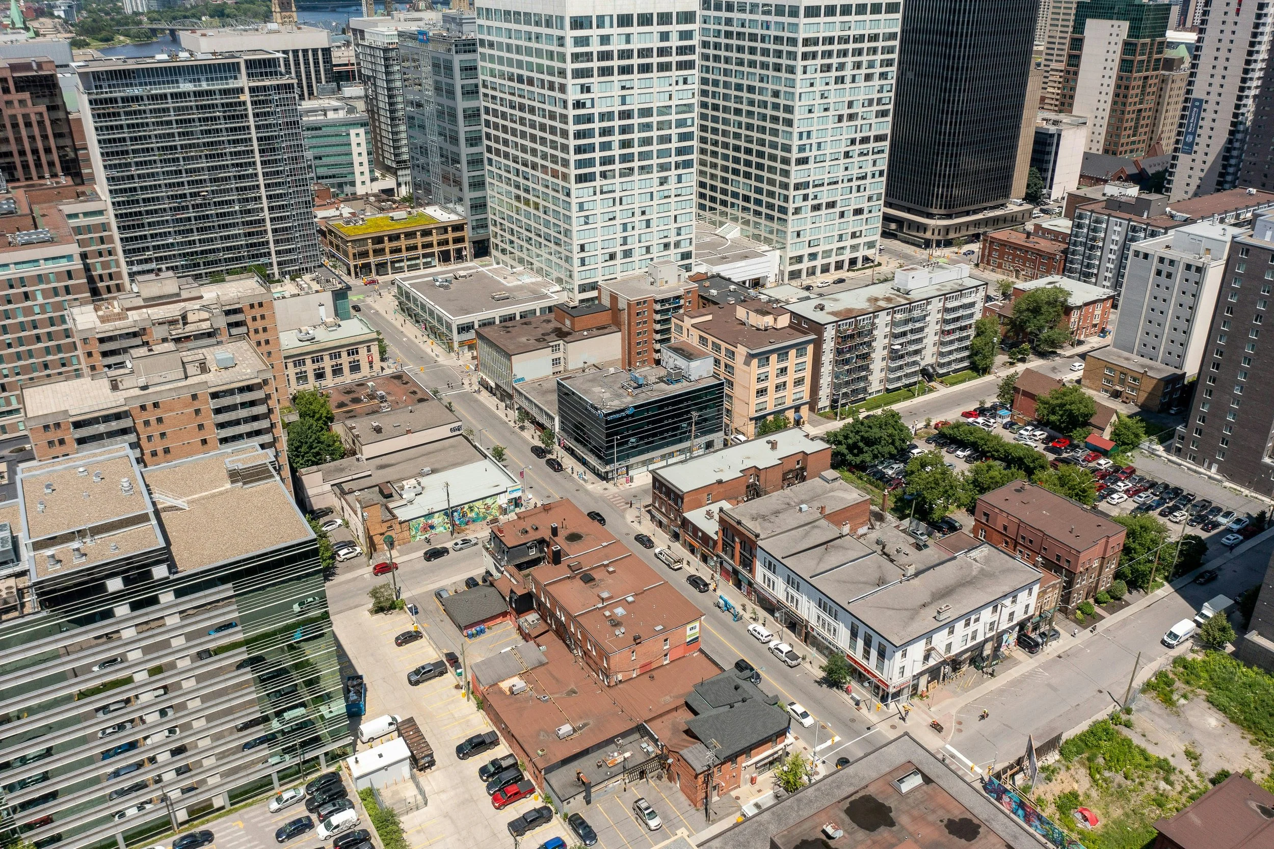
LoretoGeo delivers high-resolution aerial imagery and geospatial data that give commercial property teams a clearer, faster way to understand and manage their assets. From detailed 2D maps to roof condition documentation, drainage patterns, and equipment inventories, our deliverables help facilities and risk management teams identify issues early, prioritize maintenance, and support planning, reporting, and insurance needs. A single drone flight can capture a comprehensive, up-to-date view of an entire property—providing actionable insight that goes far beyond traditional satellite imagery, without the cost or disruption of manual inspections.
-
LoretoGeo’s Aerial Crop Health Snapshot provides a high-resolution, field-wide view of plant vigor using advanced drone imaging and vegetation analysis. By applying a colorized vegetation index to consistent, survey-style imagery, we reveal subtle variations in crop health—helping identify stress, irrigation issues, and field variability early. The result is a clear, actionable map that supports faster scouting, more efficient resource allocation, and better-informed decisions across a wide range of crops, all delivered quickly and cost-effectively.